ALERTS & UPDATES:
Detection and Mapping of Invasive Species

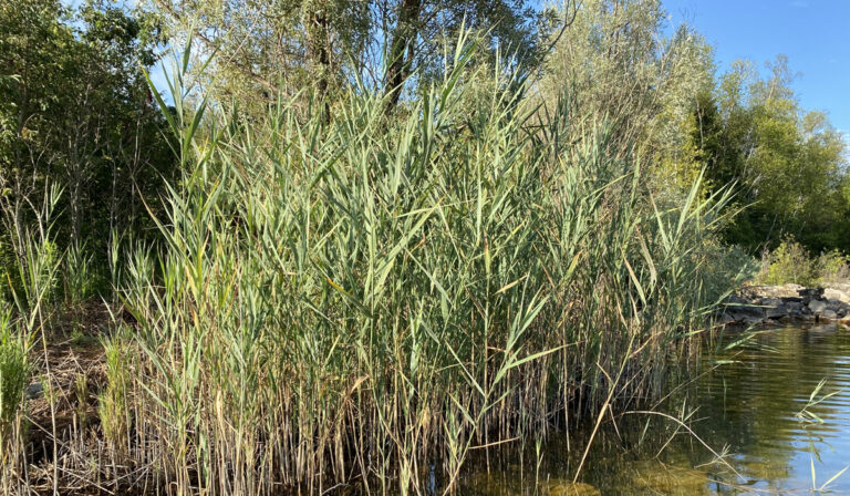
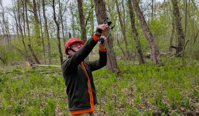
Protecting the environment against invasive species is a big job. One of the hardest challenges is catching new species when they arrive, and making sure everyone knows about them – both organizations and the public. Luckily, you can make a difference in the fight against invasives! There are some amazing resources for people to share what they see when they are outdoors through citizen science.
Citizen Science
Citizen science refers to the involvement of everyday people in scientific undertakings and studies. This can happen with a larger, more organized effort, or independently on your own time. Citizen science is taking place right now as both global efforts and in small community groups. Activities can include mapping, counting invasive species, recording invasive species removals, and among many others. When dealing with invasives, monitoring and mapping are incredibly important to understanding what threats are out there. If you want to get involved, below are two great resources to try.
EDDMapS
Early Detection and Distribution Mapping System – or EDDMapS – is a web-based mapping platform specifically focused on invasive species. EDDMapS launched as an initiative in the southern United States in 2005, and has grown to include all of the United States and Canada. To date, there are more than 9 million records of mapped invasive species. It also has resources, species profiles, and identification tools to help figure out what species you might be looking at.
EDDMapS is used by many organizations, so by contributing, you are helping to alert organizations like the Hamilton Conservation Authority about where invasive species are in your community. You can sign up for free on their website and download the EDDMapS app. Then the next time you are hiking, fishing, or birding and see an invasive species, record it in the app! You can also upload your findings from your home computer. Always upload your photos to the database for proper identification.
iNaturalist
iNaturalist is an amazing network of people coming together to record both native and invasive natural life all over the world. Visit their website or download the app to give it a try! Take a picture of almost anything living thing and iNaturalist will help you identify it. These pictures/observations are then posted as identified by you or the app. Then other local experts can second your identification, or make a recommendation if they believe it is something else. This is a great tool for quickly recording invasive species you are seeing when you are out in nature. The location of the observation is recorded by iNaturalist. This allows groups like the HCA to use public observations of invasive species recorded in iNaturalist to monitor emerging threats, map the locations of invasive species, and make decisions about where to focus our efforts. Also, iNaturalist has lots of information through species profiles, maps, and photo galleries to help increase your identification skills and awareness.
Other Ways to Report
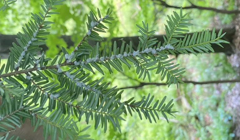
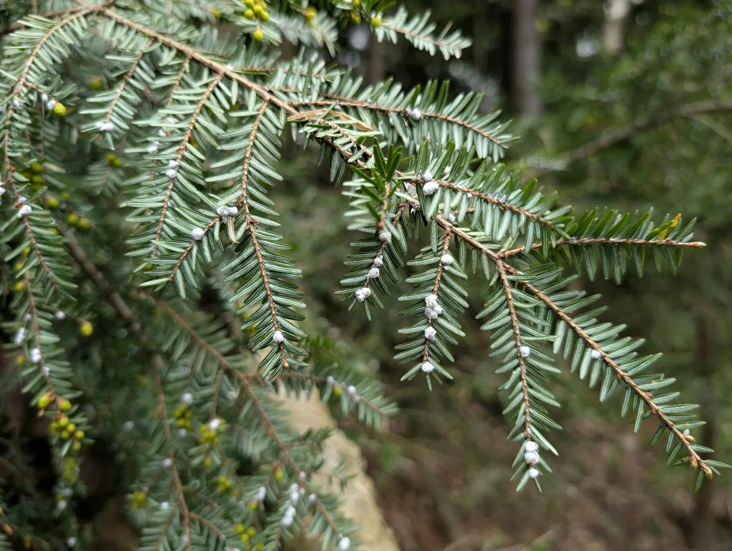
If you come across an invasive species, there are numerous other ways to report your findings. If you find what you believe to be an invasive species on HCA lands, take a picture and send it to the conservation area’s staff, or the HCA Invasive Species Technicians. For emerging species such as Oak Wilt, Hemlock Woolly Adelgid,or Spotted Lanternfly, you can also contact the Canadian Food Inspection Agency.
HCA Contact Information
Phone: 905-525-2181
Email: nature@conservationhamilton.ca