HCA secures two major properties in East Escarpment
Hamilton Conservation Authority (HCA) has completed the purchase of 178 acres in the East Escarpment Wetland Restoration project area. The acquisition was announced at the October 1 Board of Directors meeting.
The two properties purchased are adjacent and also link to the Dofasco 2000 Trail and the Devil’s Punchbowl Conservation Area, making the purchase a major step in the project, which aims to acquire floodplain lands, existing and former forested and wetland areas in the East Escarpment with the potential for restoration and enhancement and to provide for passive recreation.
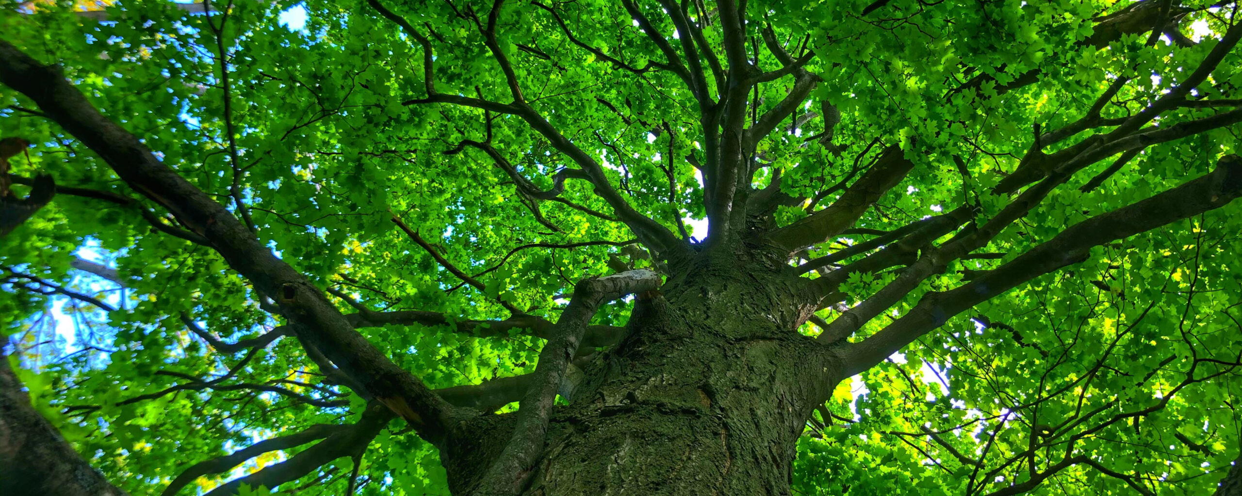
The first property is 102 acres, (41.29 hectares) and contains significant woodland in its northern area. 422 metres of the main channel of Battlefield Creek traverses the property from east to west, with additional tributary watercourses on the property draining to the main channel.
Significant karst features including small caves and sinkholes are located on the subject lands with existing watercourses flowing through the karst features.
The second property is 76.4 acres (30.9 hectares) and contains forested, meadow and agricultural lands. 409 metres of the main channel of Battlefield Creek traverses the property from east to west, with additional tributary watercourses on the property draining to the main channel.
In total, 831 metres of Battlefield Creek’s main channel runs through the properties, plus tributaries.
Funding for the acquisitions came from donations from the Heritage Green Community Trust and the City of Hamilton, who committed to donate $2 million towards securing land in the East Escarpment area.
The areas where acquisitions will be targeted are mostly rural with a mix of agricultural lands and former agricultural lands. In the rural areas, floodplain lands, remnant forest and wetland features and habitat exist but they have been heavily impacted by past activities and development. These remnant features and habitats are a high priority for conservation and restoration.
Wetlands act as natural sponges that trap and slowly release water, whether from precipitation, snow melt or surface water. This regulates the flow of water through the watershed during periods of low flows and high flows.
In future, design plans will be created to allow for more natural flow of streams and watercourses through the subwatersheds, with the goal of restoring the watercourses, wetlands and forests to improve the habitat and function. Many of the current watercourses through the areas have been diverted through the use of roadside ditches and other channels rather than following their natural path.